Category: The Edible Map project: promoting urban agriculturePage 1 of 2
I have been developing the Edible Mapping Project since 2010. The project combines map making, artist-led walks, costumes, and performance as well as initiating urban agriculture projects such as the growing of wheat in Newcastle.
The drawn maps are located in Croydon (2009), Hackney, east London (2010, 2011), Peterborough (2015), Newcastle (2015/ 2018), and Dallas (2015), and Domiz refugee camp (2019).
I argue that these maps help visualise the potential for local food production within typical urban spaces such as rooftops, car parks, grassed spaces, and vacant lots. Often, I use these maps to take people on walks around the neighbourhood to develop discussions in situ about how we might innovate everyday urban spaces to incorporate food production.
Below you will find greater detail about several of these projects, a gallery of maps as well as the costumes that are used to bring everyday urban food production to life.
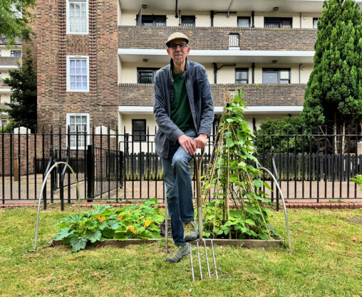
I was commissioned by Islington in Bloom to interview and photograph many of the edible gardens that entered the competition. I draw a map, took lots of images and also interviewed Danny Clarke.

In 2024 I was commissioned to analyse the plans and develop a vision for how urban agriculture, together with local farms and markets could turn help develop a sustainable food system for the proposed site.

Mikey Tomkins works as a creative consultant, specialising on the integrating of urban agriculture to promote sustainability, community engagement, and greener cities.

a catalogue of Edible maps promoting urban agriculture by date. Each one is printed and you can order copies by mailing me at mikeytomkins at gmail.com

In collaboration with the University of Brighton VR was used to create a “virtual walk” in Brighton, where participants could examine potential sites for urban agriculture.

Hull’s Right to grow initiative to make open spaces accessible for community food growing, promoting urban agriculture.

A Leeds mapping project transforming urban spaces by integrating nature recovery through community collaboration.

Features Dr. Tomkins discussing urban agriculture and food mapping on a climate-focused television program with Tom heap.

“In the realm of urban development and sustainability, Urban Food Mapping: Making Visible the Edible City emerges as a seminal work …” The book promotes urban agriculture and food mapping.

Displays a collection of maps and artworks related to urban agriculture projects and edible walks.

Creation and exhibition of an edible map in Newcastle, promoting urban food production in the city centre.

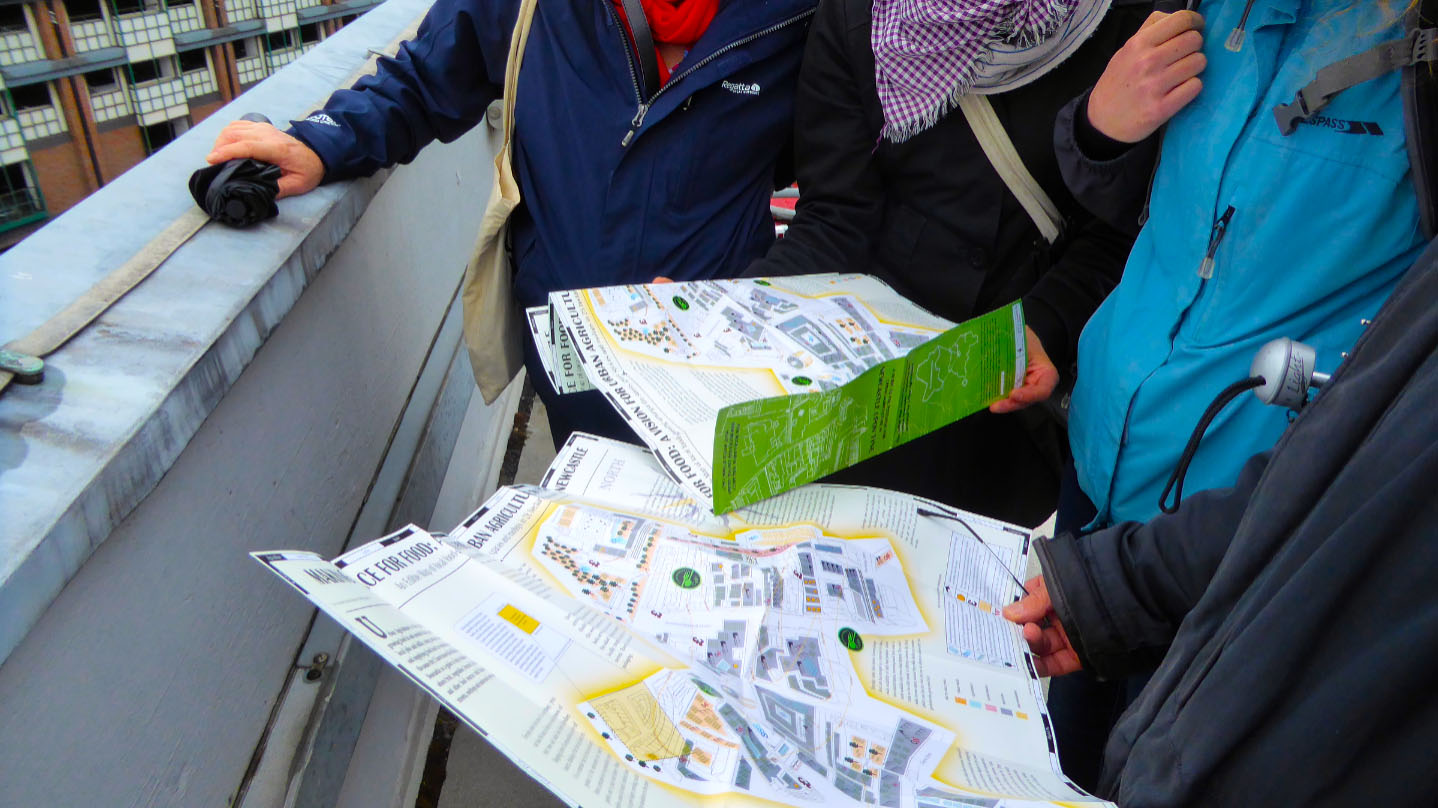
Walks are an intrinsic part of the map making process. Once a map is drawn, I use the map to invite the public to walk with me and…

These costumes were created to help explore questions around the cultural response to urban food production within my imaginary maps.

As part of the communal aspect of eating and sharing harvests, I have begun to develop the maps into plates. This is still a nascent idea but one…

SHIELDFIELD WHEATFIELD was a project in collaboration with Shieldfield Art Works, begun in 2018, with the aim of growing urban wheat in Shieldfield, Newcastle. The wheat would then…

The Urban Wheat Guardian, is one of two costumes and masks I have been making over 2020, the second is the Fish Spirit Catcher. The Urban Wheat Guardian…

June 2019. As part of an exhibition at Shieldfield Art Works, Newcastle upon Tyne I exhibited the Edible Map of the Shieldfield as well as running a…

Incredible Edible Bishop Auckland, County Durham. This map was drawn to support the launch of Incredible Edible Bishop Auckland, March 2019. The map focuses on the central part…

The Edible City of Peterborough, UK This Edible Map focuses on the centre of Peterborough, UK. In the 1960s the Cambridgeshire town of Peterborough was designated a New Town. It now…
Newcastle Journal 2015 Could Newcastle’s rooftops become an urban farm? By David Whetstone A new project in Newcastle is envisaging a future where food is produced on urban…