Walks are an intrinsic part of the map making process. Once a map is drawn, I use the map to invite the public to walk with me and experience the potential Edible Urban Landscape of their neighbourhood. These walks engage communities in reimagining city landscapes as sustainable, edible environments, fostering discussions on integrating agriculture into urban planning. Sometimes the maps have discussion groups and workshops rather than street walks, as with the Leeds and Hull maps.
Images, ©Mikey Tomkins, SAW, Julia Heslop, Sandra Keating

Conference on nature recovery, Leeds University, 2024. The map formed part of the overall research on nature recovery in Leeds.

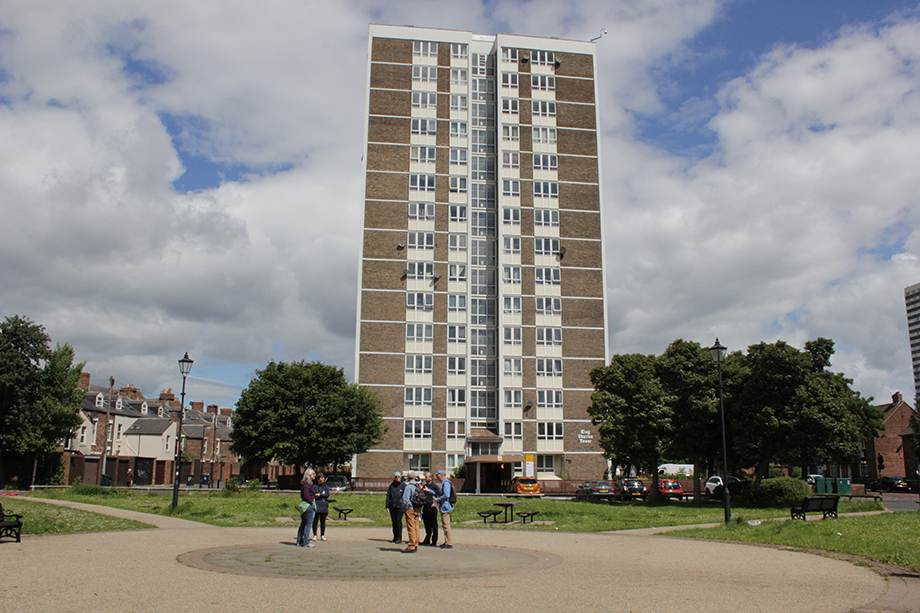
Edible map workshop, Leeds, Alwoodley, 2024.

Edible Map workshop, Brighton, 2022.

Edible Map Walk, Brighton 2022.